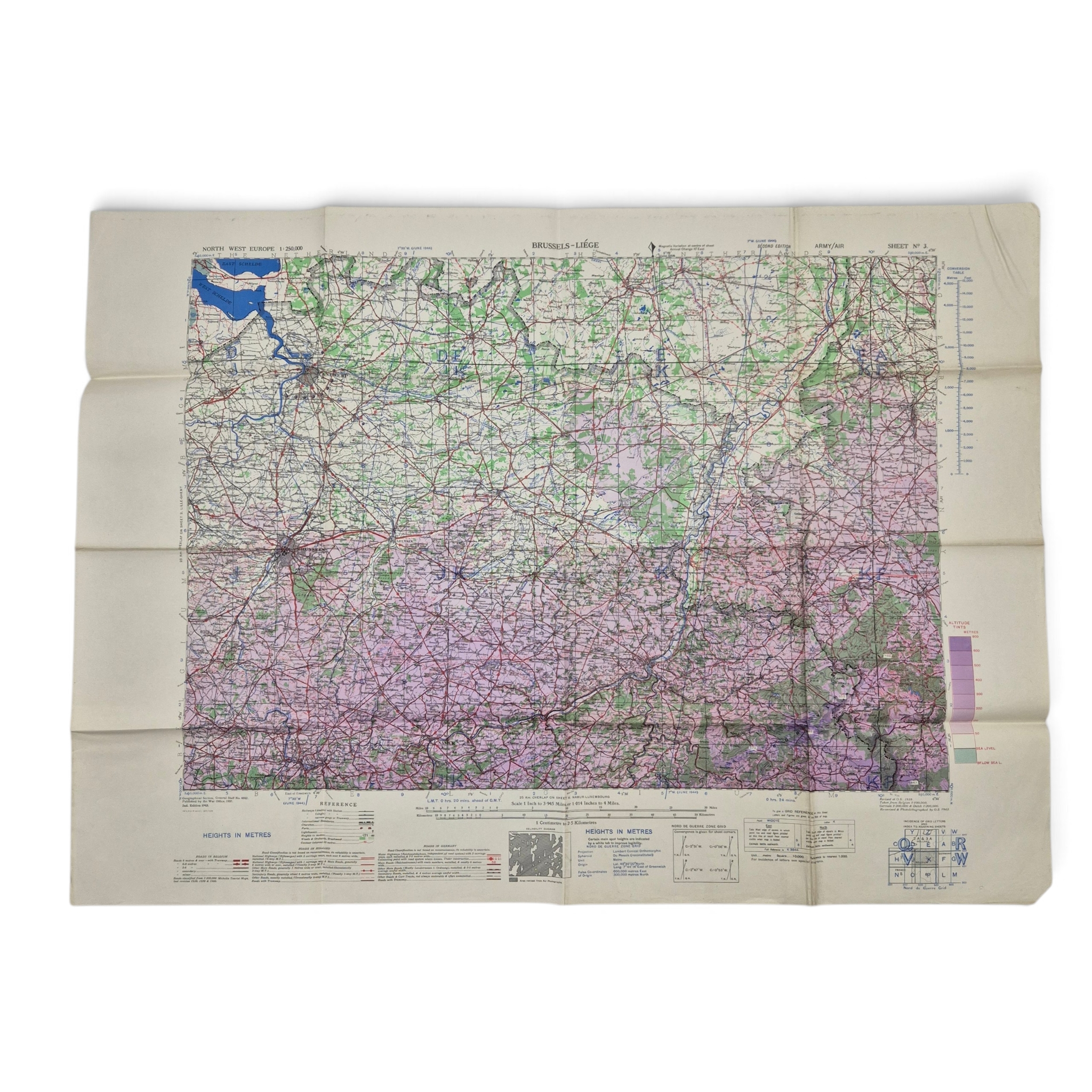
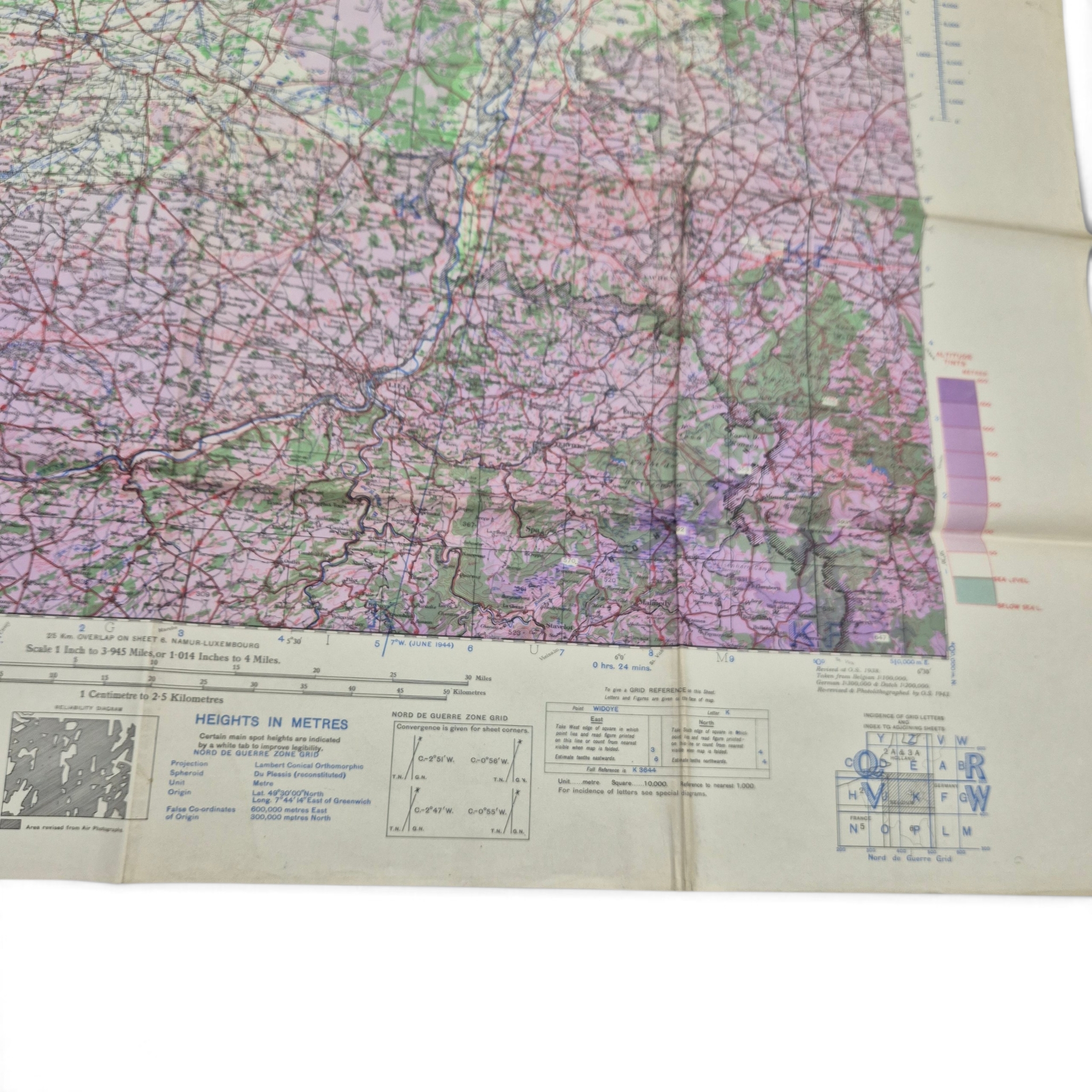
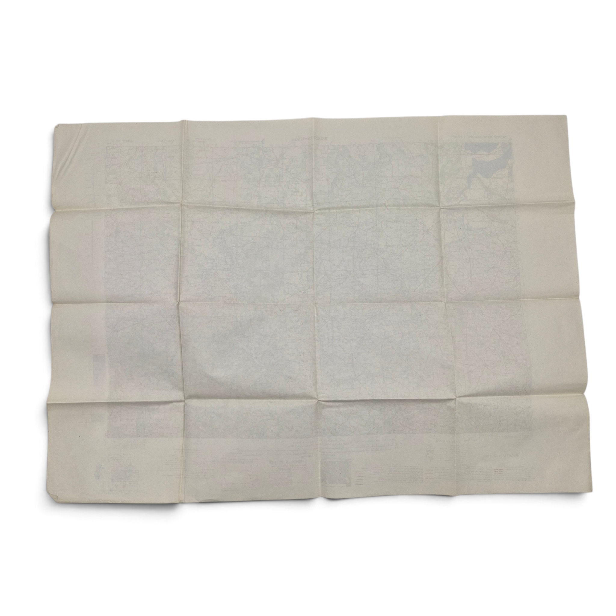
British/Canadian Army & Air Map of Brussels–Liège – 1944
€70,00
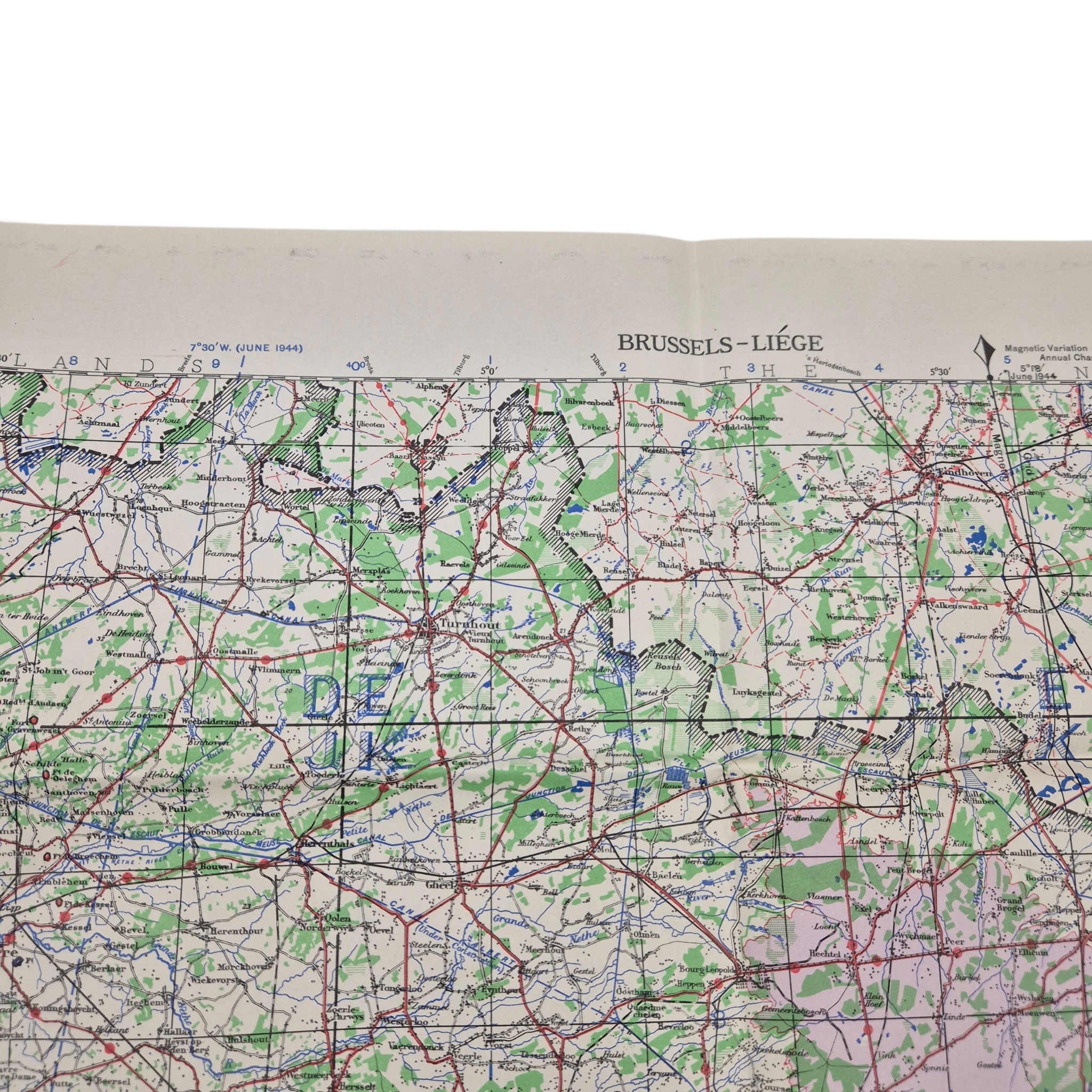
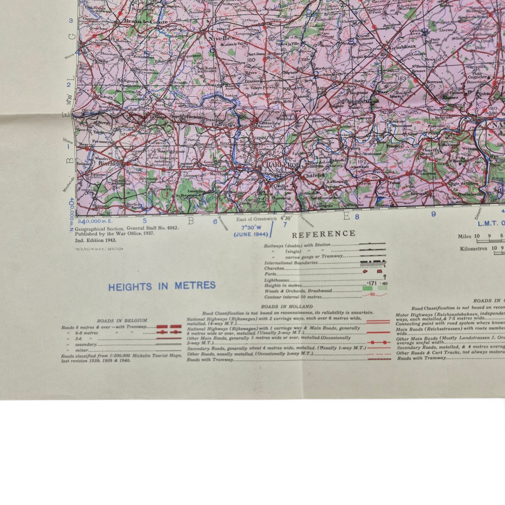
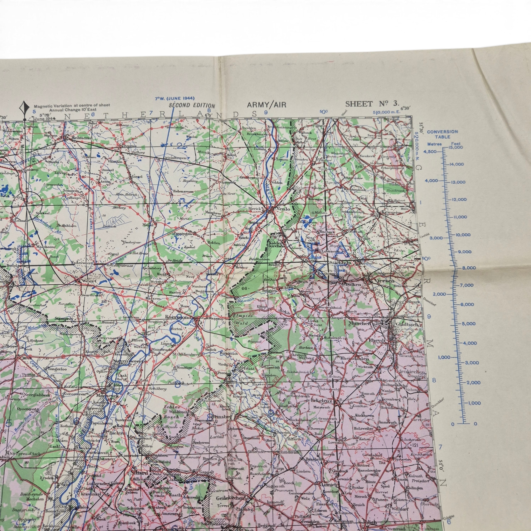
Original WWII British/Canadian Army-Air map of Brussels–Liège, Belgium and the Netherlands. The map is in good condition and is marked “Geographical Section, General Staff, No. 4042.” Originally published by the War Office in 1937, this is the 2nd Edition, 1943, printed in June 1944. The map covers the Brussels–Liège area as well as parts of the Netherlands and also shows part of the Scheldt (Schelde) River. A nice original wartime map, printed shortly before the Allied liberation of Belgium and the southern Netherlands.
1 in stock
Additional information
| Weight | 1000 g |
|---|
