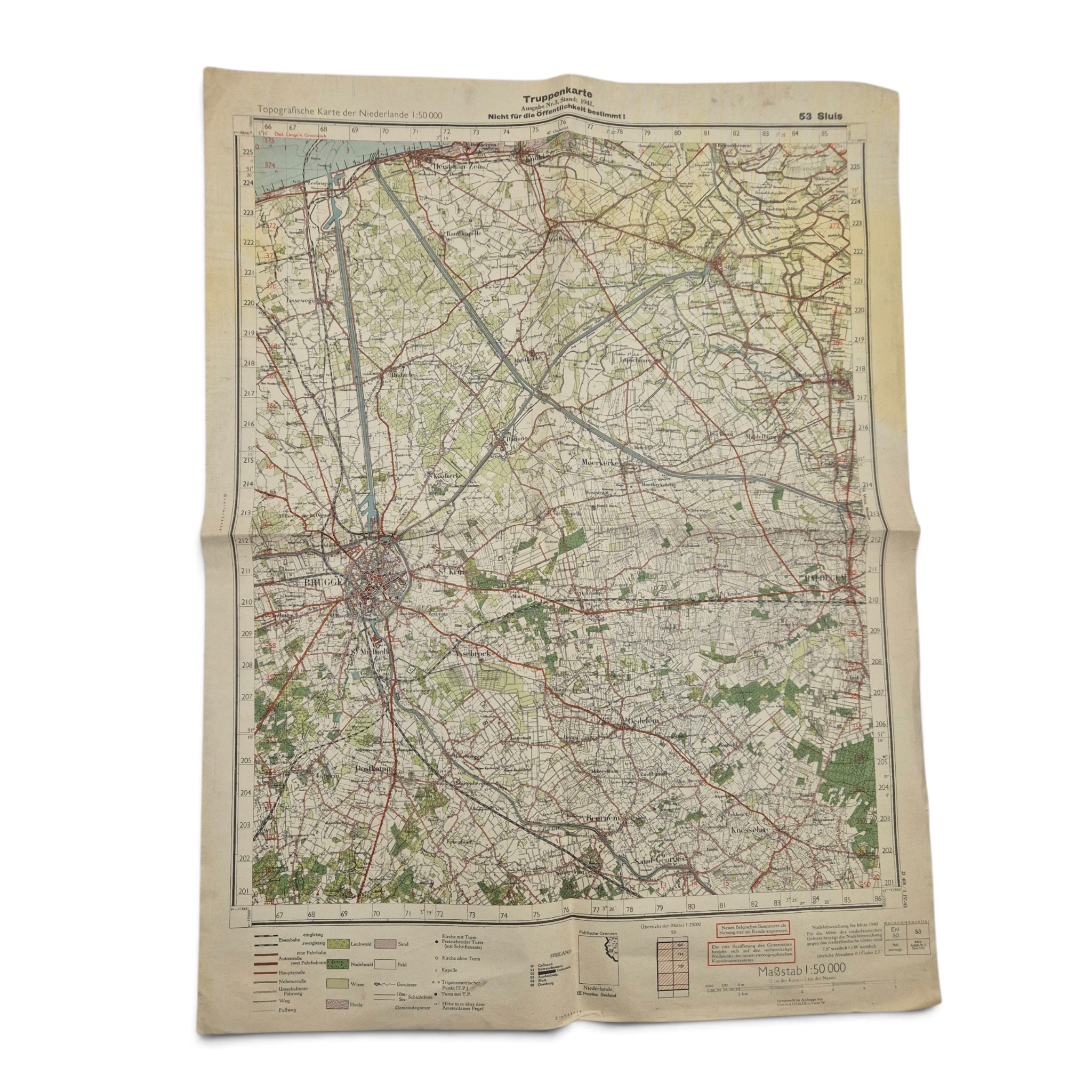
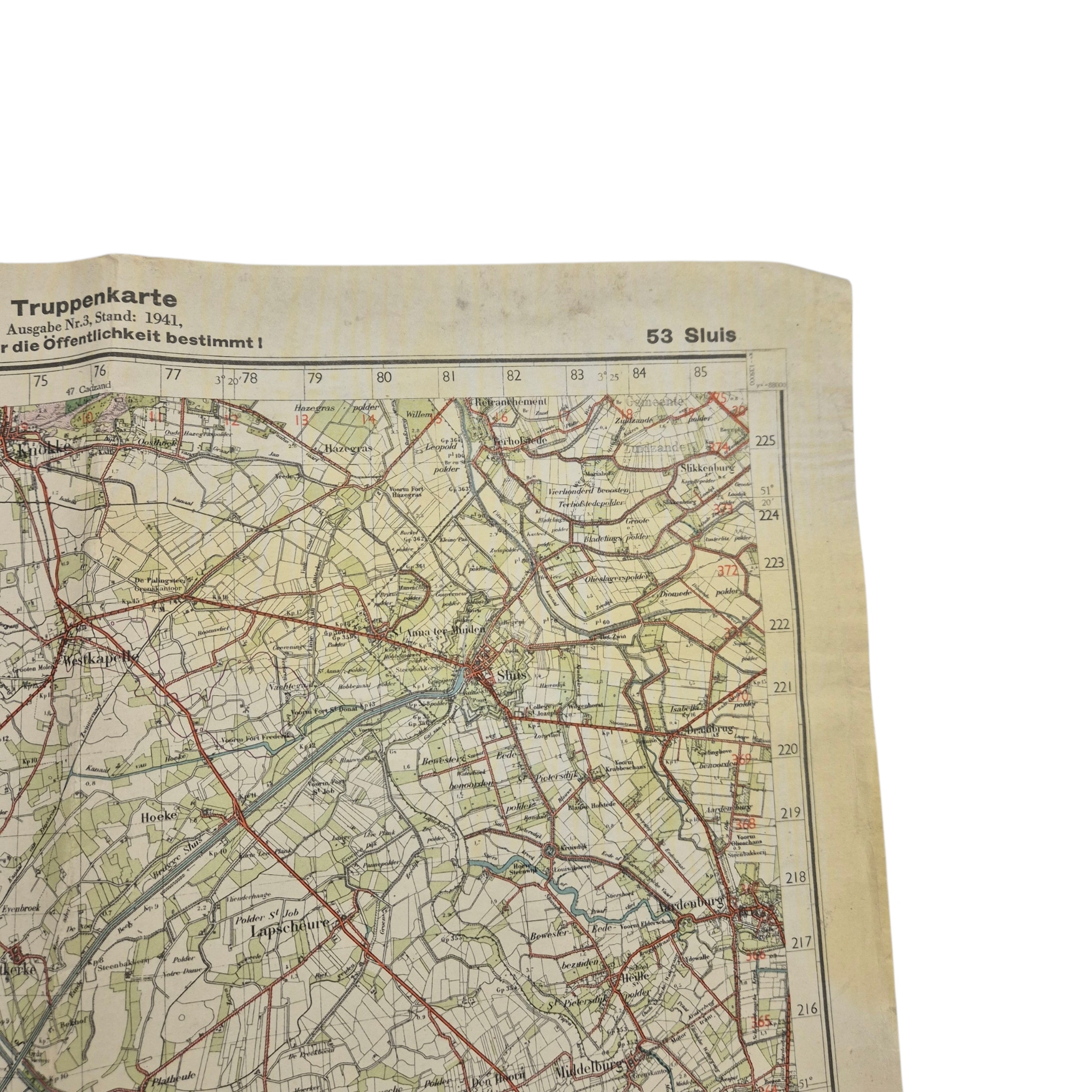
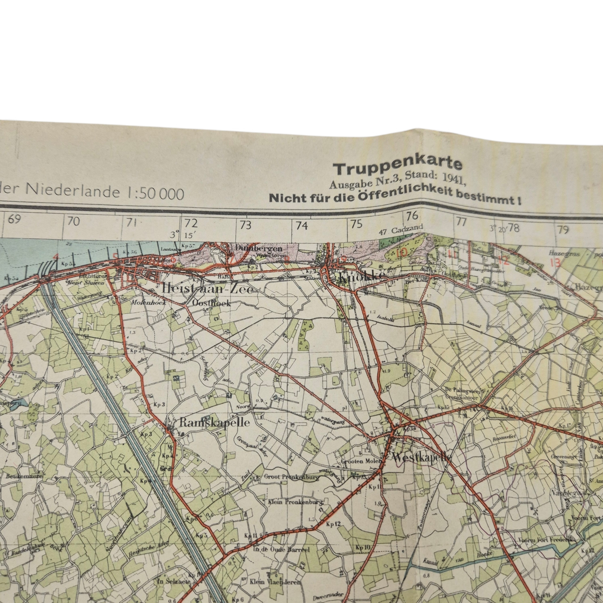
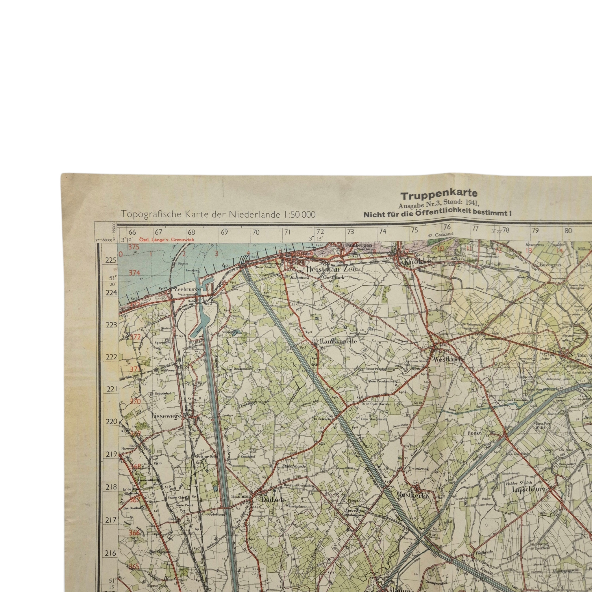
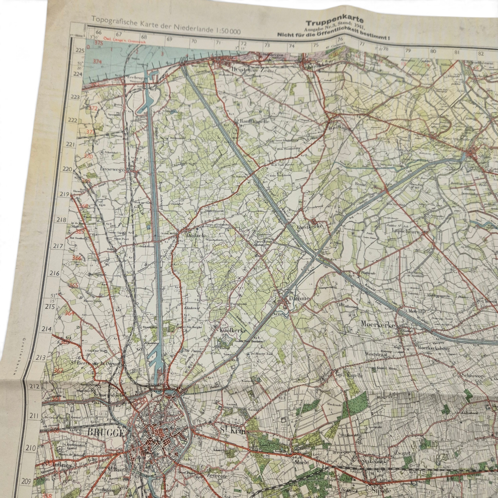
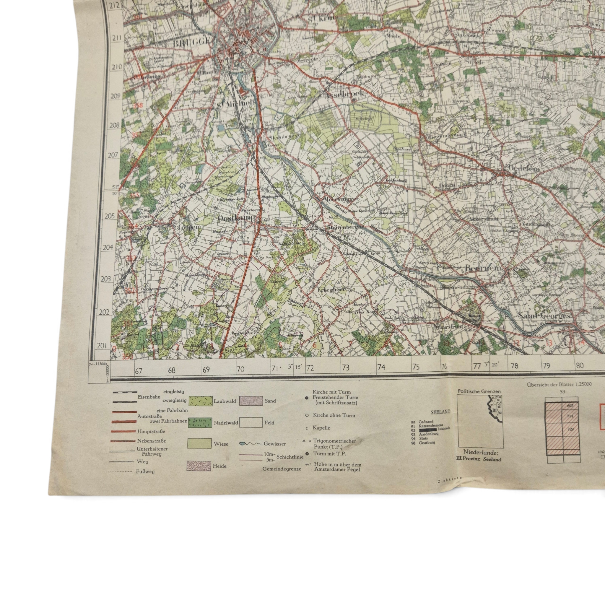
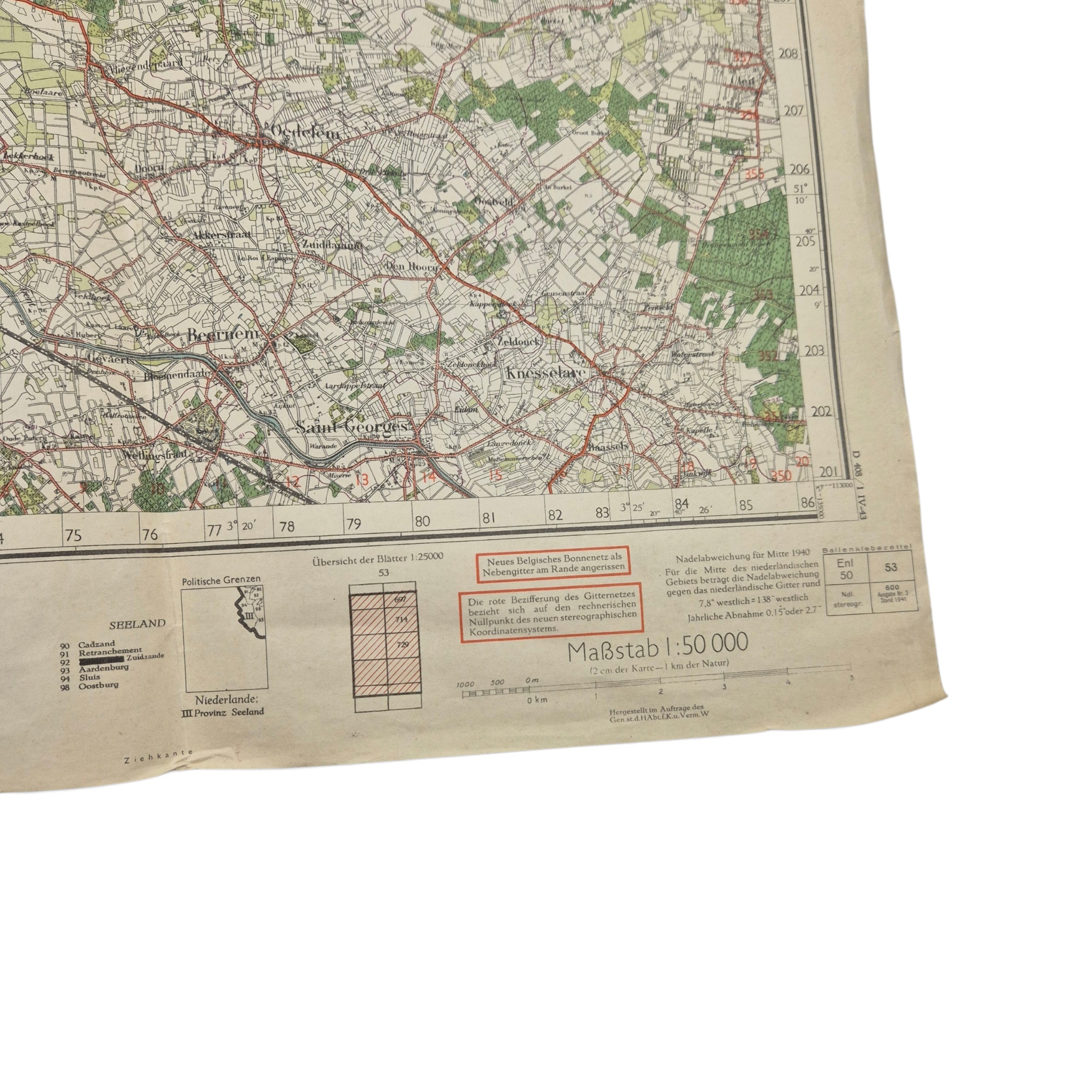
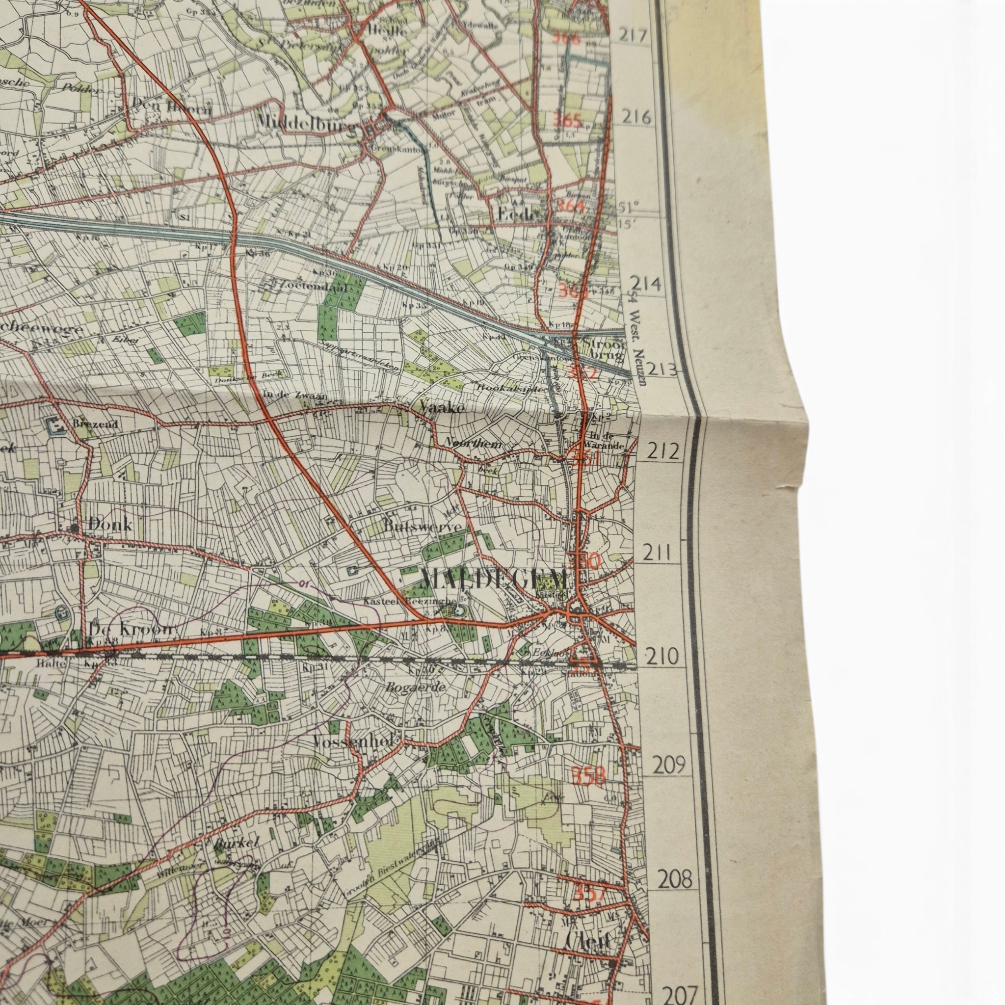
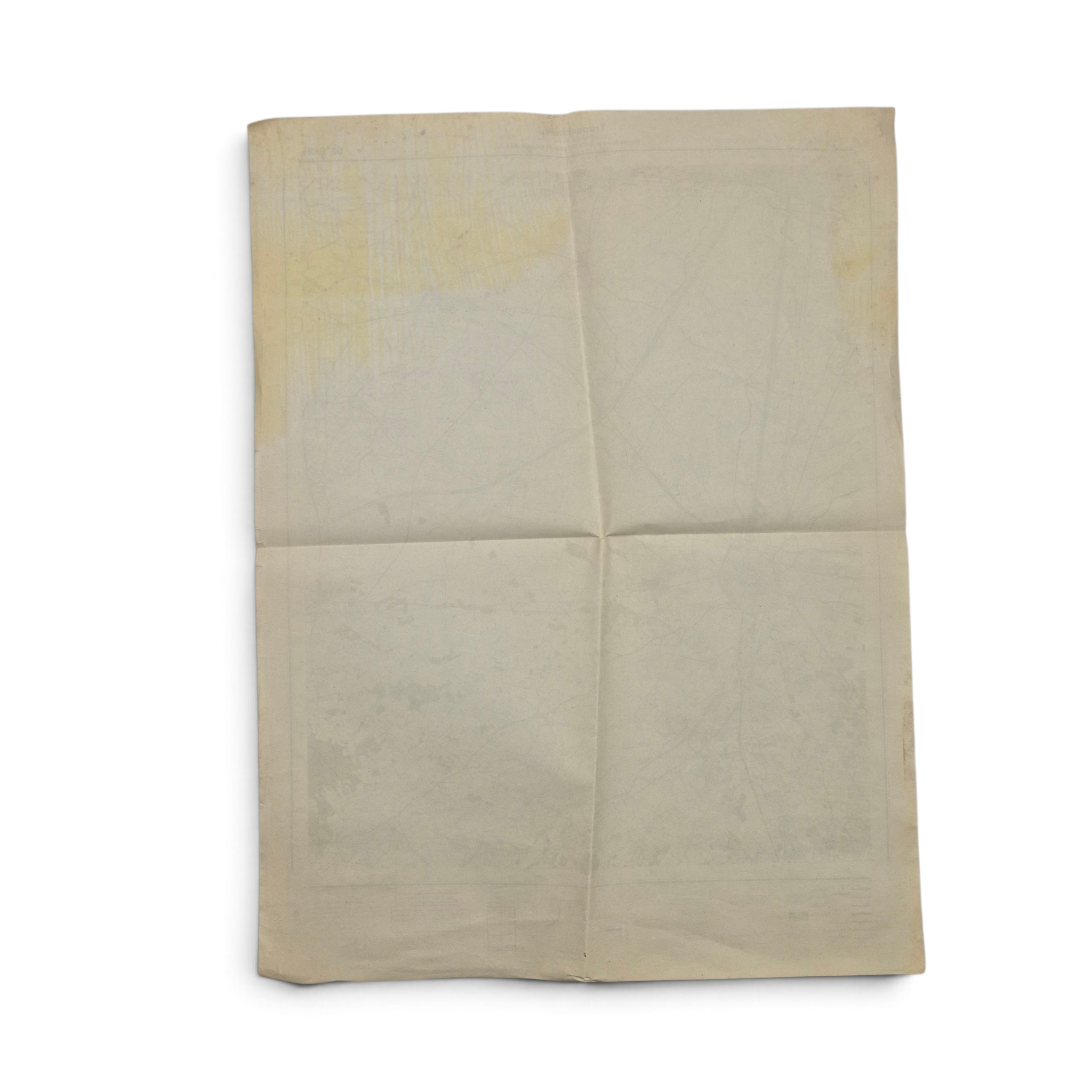
German Truppenkarte Map, sheet 53, Sluis – Ramskappele, Brugge, Maldegem
Original WWII German Truppenkarte map, featuring map sheet 53, Sluis, covering areas including Ramskapelle, Brugge, Maldegem, and the surrounding region. The map was issued as “Ausgabe No. 3” and dated 1941, with a scale of 1:50,000. The upper margin bears the warning “Nicht für die Öffentlichkeit bestimmt!” indicating that the map was intended for military use and not for public distribution. The map is in good overall condition and is becoming hard to find, making this a nice original example for collectors of WWII German militaria and maps.
Out of stock
Additional information
| Weight | 1000 g |
|---|
