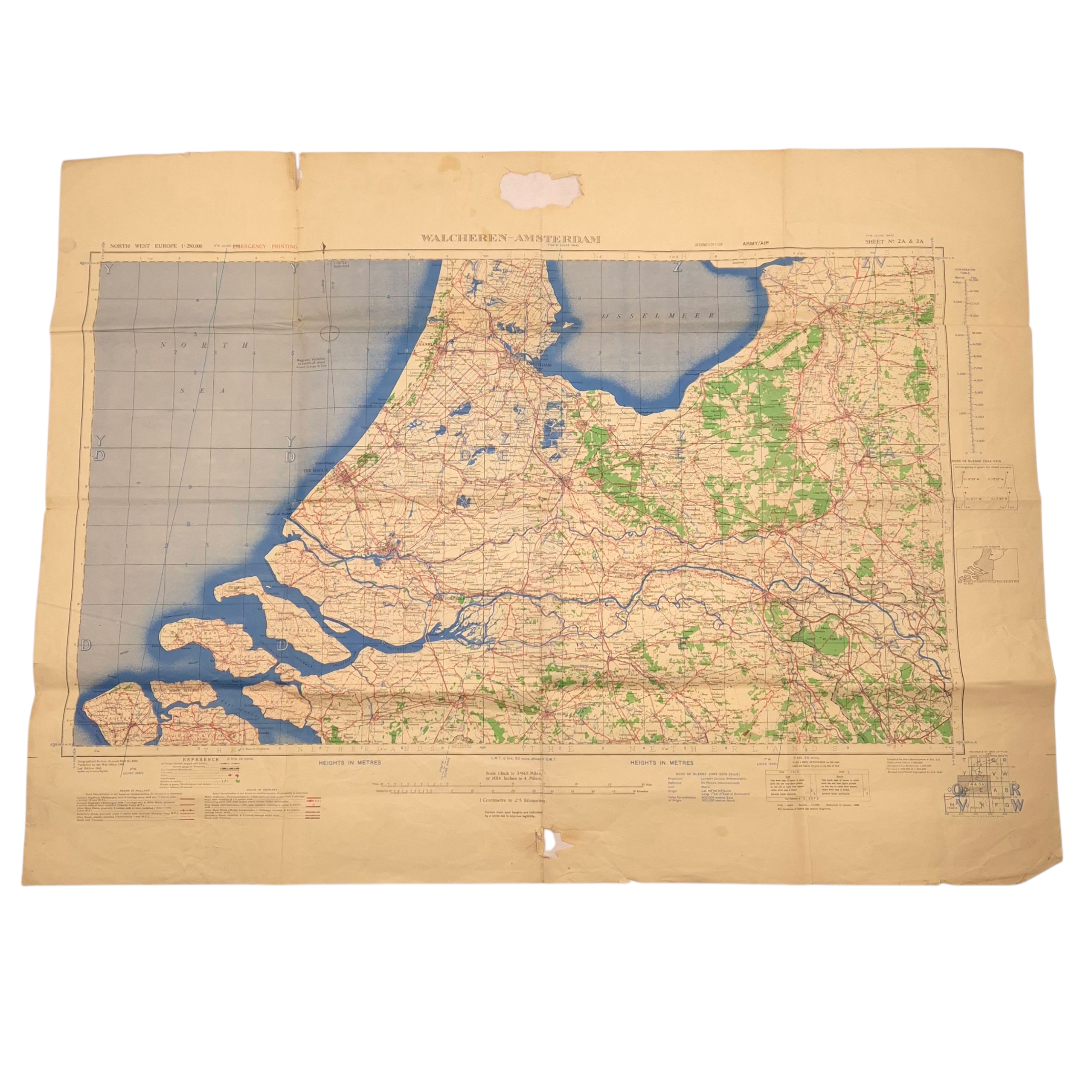
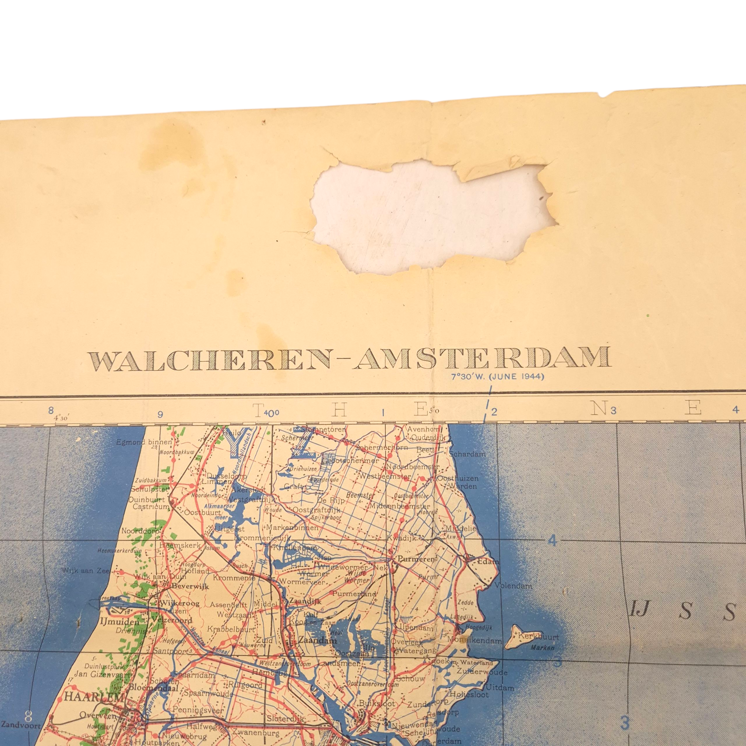
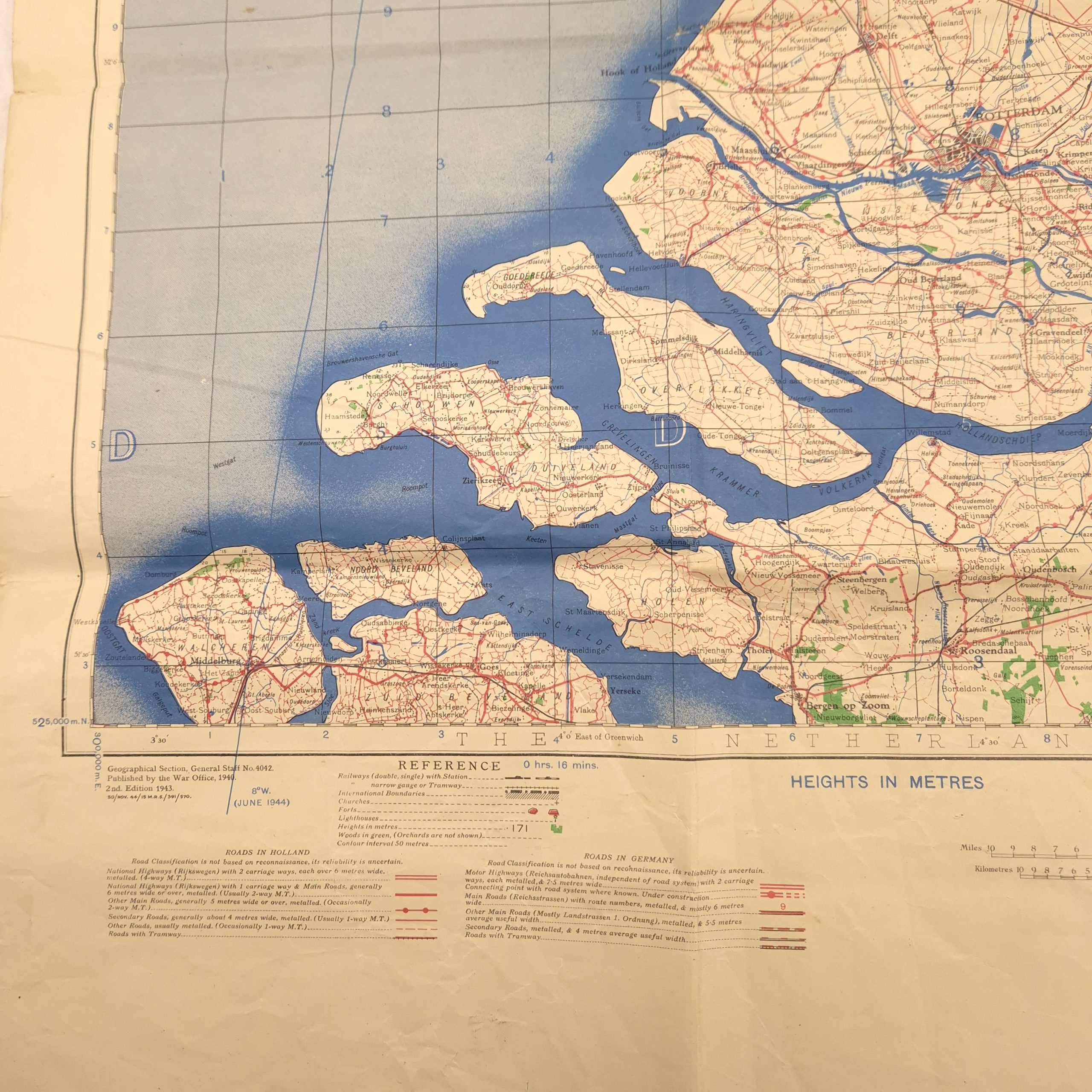
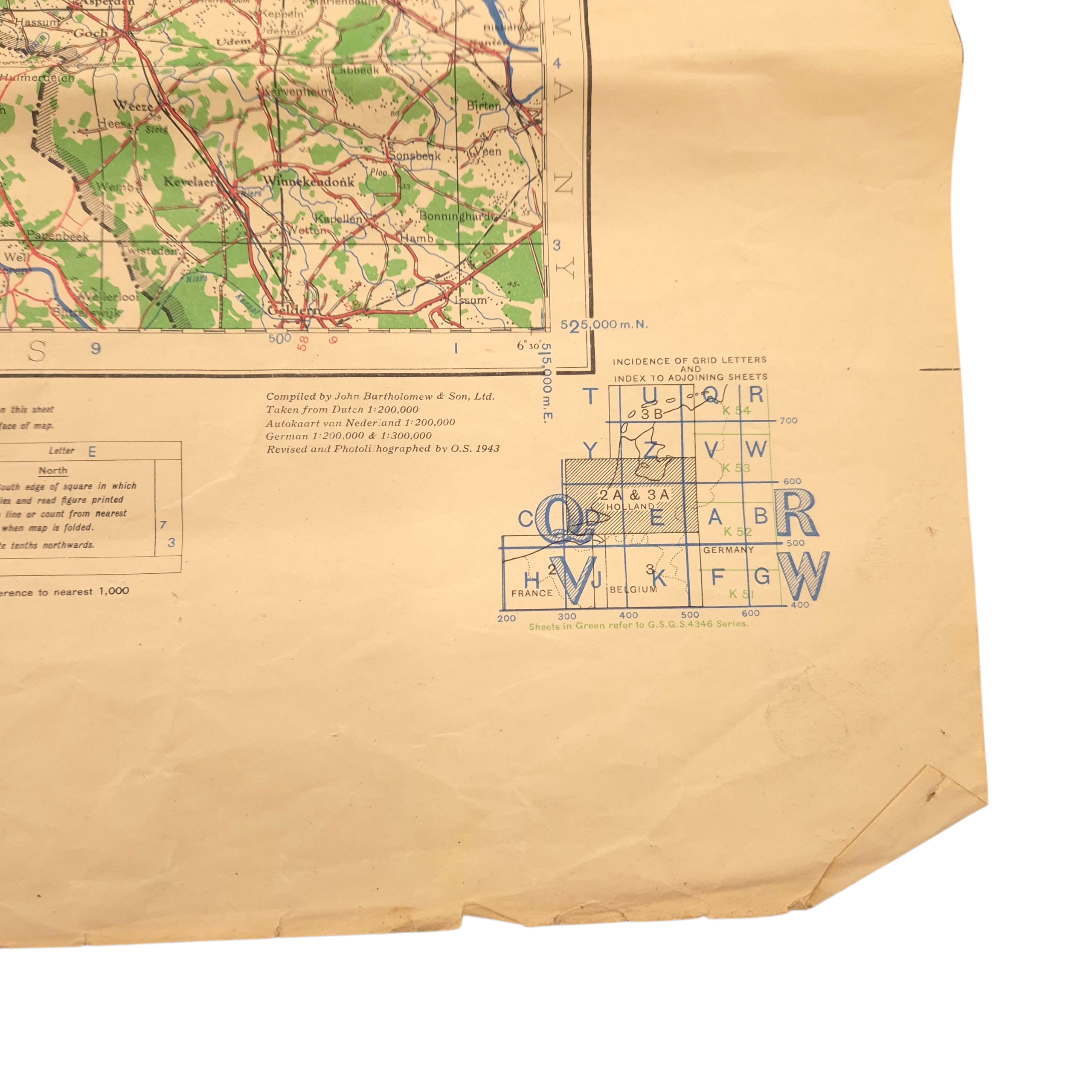
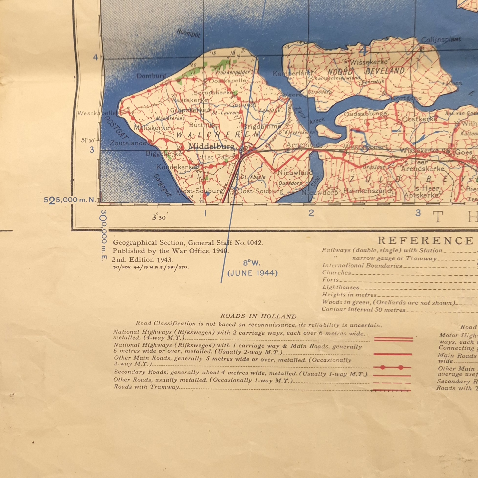
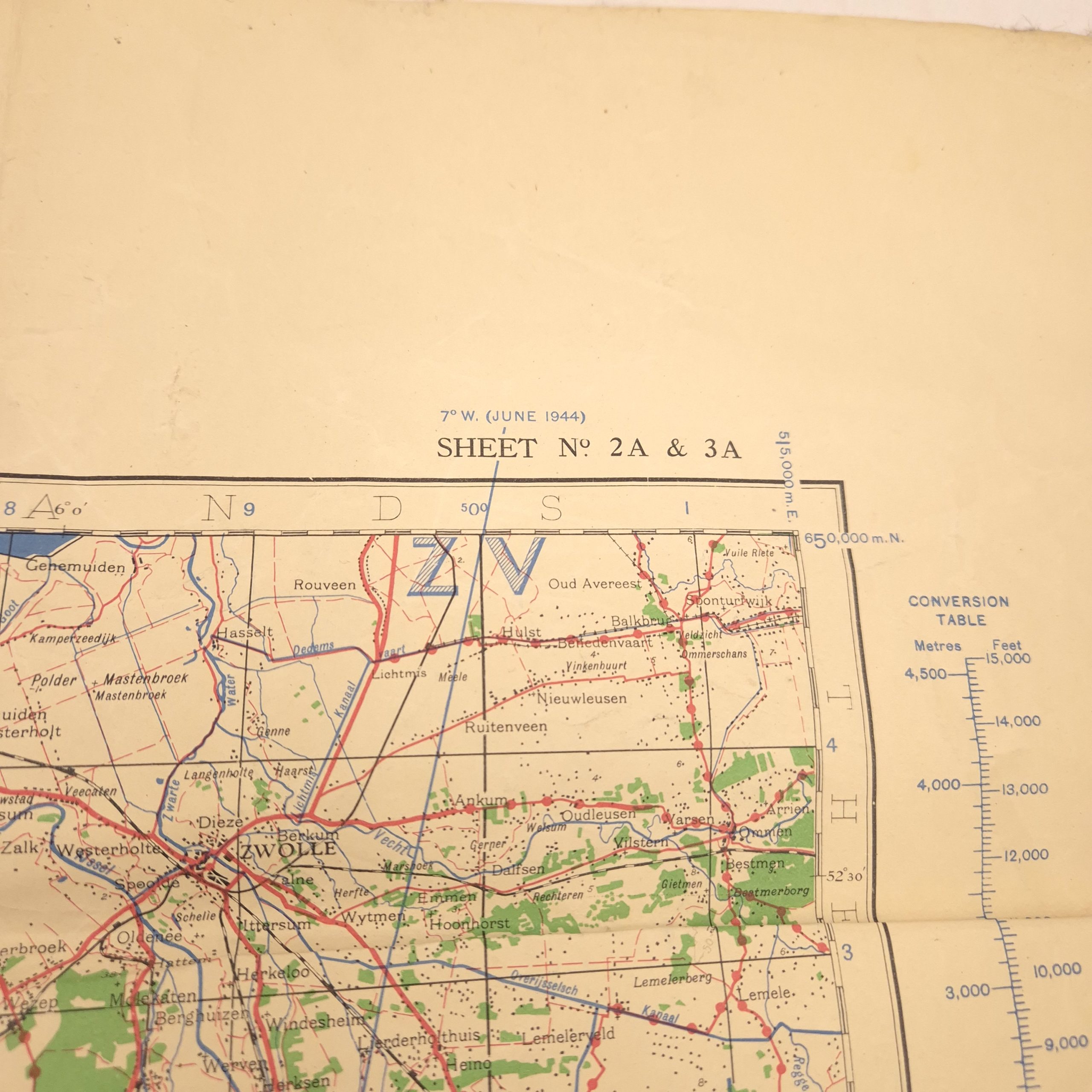
Walcheren – Army Map, June 1944
Original WWII Army Map covering the area from Walcheren to Amsterdam, dated June 1944. The map is clearly stamped “EMERGENCY PRINTING” in the top left corner, reflecting wartime production measures. In good used condition with some damages.
Additional information
| Weight | 1000 g |
|---|